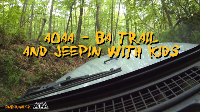
I recorded this video during one of our family runs to the Anthracite Outdoor Adventure Area. Part of it is gimbal, the rest is stationary. […]
Category: Trails
Trail Summaries
The trail rating system
I’ve run into a person or two who have been a little confused by the trail rating system that we all take for granted. It’s […]
Mount Pisgah

This is a not quite complete topo map of some of the trails on Mount Pisgah. I will add more as I do some more exploring up there.
This mountain was once heavily mined for coal, so there are a number of access roads up there, which were once used for large machinery, so they make travel about the mountain rather easy. I havent come across very many challenging trails up here, but there are some SPECTACTULAR VIEWS!
Paragon Adventure Park
Paragon adventure park is an Off-Road part in Hazleton, PA. You can visit their website for information at http://www.paragonap.com. Ive personally been to this park twice. It’s a lot of fun! Theyve got trails for just about any skill level, and some pretty darned experienced guides!
Here are a few pictures:
Me hitting some rocks on “Chicken Run”

A picture of our skilled guide.

I dunno about this one..
Powerline Trail, and the Ox Bow.
This picture was taken from the top of the Powerline Access Trail. This mountain/river formation is commonly referred to as “The Ox-Bow”. Mainly because it […]
The Broad Mountain
The broad mountain is part of a mountain range in Northeastern PA. It lies between Nesquehoning, and Hazleton. Its about 5 miles from my home […]

